Property Access
Road Surface Type: "Paved"
Building
Direction Faces: West
Disclosures
Exclusions: None
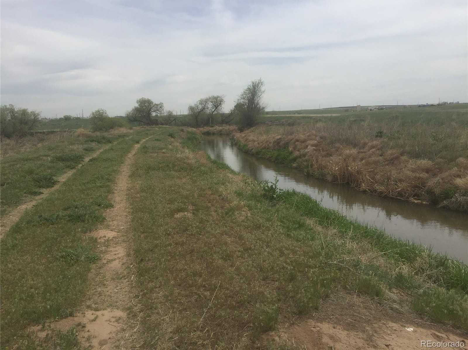
Water Features
Waterfront Features: "Stream", "Waterfront"
Home Owner's Association
Association Fee Total Annual: $0, Association Fee Annual: 0.00, Association Fee 2 Annual Expense: 0.00, Association Fee 3 Annual Expense: 0.00
Lot
Acres: 18.91, Area: 18.91, Features: "Borders Public Land", "Level", Frontage Type: "Waterfront", Parcel Number: R4681107, Square Feet: 823719.6
Owner Pays
Ownership: Corporation/Trust
Parking
Parking Total: 0, Carport Spaces: 0, Offstreet Spaces: 0, Reserved Spaces: 0, RV Spaces: 0, Parking Count: 0
Property
Current Use: "Agricultural", "Commercial", "Multi-Family", "Office", "Residential", Out Building Count: 0, Property Sub Type: Improved Land, Vegetation: "Brush", "Cleared", "Grassed", "Natural State", "Pine", "Sagebrush", View: "City", "Golf Course", "Lake", "Mountain(s)", Zoning: PUD
Sewer
Sewer: "Public Sewer"
Taxes
Annual Amount: 11, Legal Description: PT S2SW4 33 2 66 (RANCHERO DEV 2ND ANNX) LYING N OF A LN BEG N0D09'W 792.02' FROM SW COR OF SEC THENCE S86D25'E 589.48' TO C/L OF FULTON DITCH & W OF C/L OF FULTON DITCH EXC BEG S4 COR N06D1148'W 151.28' N20D4310'W 88.12' N30D4700'W 240.23' N11D3433'W 84.39' N13D5959'E 78.29' N31D2601'E 147.40' TO CENTERLINE LATERAL DITCH POB TH N86D2526'W 589.67' N0D0906' 529.06' N89D5518'E 1818.84' S04D3828'E 176.88' S37D2249'W 53.65' S78D1224'W 180.87' S67D1149'W 63.21' N45D1007'W 396.68' S89D5518'W 43.15' S44D4953'W 107.53' CURVE TO RIGHT RADIUS=222' CHORD=S68D1903'W 176.95' S01D4813'W 98' N81D2755'W 75.01' N66D4759'W 88.35' S44D5322'W 99.10' N45D1007'W 117.38' S44D5322'W 60S45D1007'E 126' S41D1311'W 85.17' S19D4055'E 109.95' S67D2331'W 93.13', Tax Year: 2018
Utilities
Electric: "110V", "220 Volts", Power Production Count: 0, Utilities: "Cable Available", "Electricity Connected", "Internet Access (Wired)", "Natural Gas Available", "Natural Gas Connected", "Phone Connected", Water Included, Water Source: "Public"